Hazard Reporting (2019-2022)
Automated data retrieval and analysis for remote site access
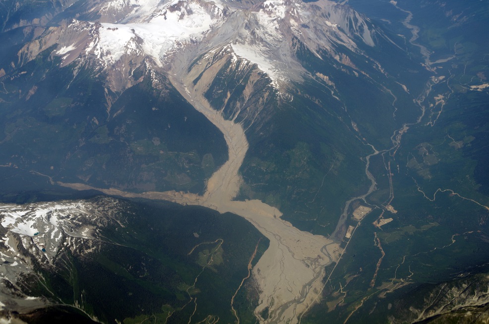
Project Purpose
The objective of this project was to provide standardized workplace hazard information for field staff entering remote areas known for terrain instability in a timely and consistent manner. The application analyzed local climate data to assess landslide risks based on the risk/hazard model developed by another geotechnical engineering specialist. The application provided location-specific access information to inform site access decisions of personnel by monitoring and reporting hazard levels in near real-time.
Project Scope and Methodology
1. Data Integration and Analysis
- Climate Data Collection: The application aggregated various climate parameters from nearby climate stations.
- Hazard Model Application: These parameters were analyzed according to a landslide risk hazard model developed by experts in the field. This model provided a basis for assessing the risk level at different sites and associated limitations on access and work activities.
2. Real-Time Monitoring
- Continuous Monitoring: The application monitored climate inputs on an hourly basis, aligned with the frequency of forecast and observation updates, to detect any changes in hazard levels throughout the day.
- Automated Notifications: When hazard levels increased, the application sent automated notifications to alert relevant personnel, ensuring timely responses to elevated risks.
3. Site-Specific Access Information
- Access Guidelines: Based on the assessed hazard level, the application provided site-specific access information, including guidelines on when sites should be shut down due to elevated risk. This provided timely and consistent information to support personnel in making decisions about site access and safety.
4. Daily Reporting, hourly updates
- Forecasted Risk Reports: The application generated daily reports with location-specific access information, taking into account the forecasted risk for the current day and the subsequent three days.
- Detailed Updates: These reports included detailed updates on climate conditions and potential hazards as surface observations and forecasts were published by governing sources, enabling proactive risk management and planning.
Project Outcomes
- Improved Risk Management: The application supported effective planning and management of field work in hazardous terrain by providing timely and consistent hazard assessments.
- Enhanced Safety Measures: By dictating site-specific access information based on real-time hazard levels, the application provided information about hazard levels at precise locations and times.
- Proactive Decision-Making: The daily reports and automated notifications facilitated proactive decision-making, allowing for timely responses to changing risk conditions.
This project successfully delivered a robust solution for landslide hazard reporting, integrating real-time data analysis with automated notifications and comprehensive daily reporting to support safety-oriented site work planning.
Posted: